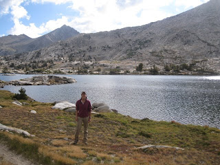
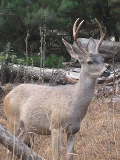
The John Muir Trail (JMT) is one of North America’s most famous hiking trails, stretching 212 miles from Yosemite Valley to Mt. Whitney, California. The trail passes through amazingly beautiful and diverse scenery: sun-dappled lodgepole pine and aspen forests, stark granite peaks, secluded alpine lakes, and peaceful meadows with meandering rivers.
The grandeur of the landscape is matched only by the challenge of traversing it. Backpackers ascend and descend more than 10 passes through the Sierra Nevada mountain range, remaining at altitudes of 9,000 to 12,000 feet for most of the hike. The trail culminates at 14,497-foot Mt. Whitney – the highest peak in the continental United States.
Along with my friends Ashley and Erin, I hiked a slightly altered version of the JMT, traveling from north to south. We started just east of Tuolumne Meadows in Yosemite at the Mono/Parker Pass trailhead and joined the JMT at Garnet Lake, on our second day of the 16-day journey. We calculated our total mileage at just on 200 miles, and it was definitely the most physically challenging activity I’ve ever done.
Late August/early September was an ideal time to go: the skies were mostly sunny and blue, the days weren’t too hot, and the nights weren’t too cold. The trail was neither too crowded, nor eerily deserted – on average we passed maybe 10-20 people per day. Most days, we felt as though the wilderness area was ours alone, and that solitude in such a beautiful setting was uniquely enjoyable.
Hiking the John Muir Trail is truly a
once in a lifetime experience!
***
Day 1: Mono/Parker Pass trailhead to just north of Koip Peak (approximately 7 miles)

Along the JMT, backpackers are required to store their food in bear-proof canisters. Here's my bear can stuffed to the brim, with one day's worth of food spread out on the floor.

Here we are, just about to begin our 200-mile journey. Notice the clean clothing and happy smiles of novice JMT backpackers!

Erin and Ashley hit the trail

The striking landscape near Parker Pass

Our first pass; there's nothing like going from sea level to 11,000 feet on the first day of a trip

Small blue lakes add color to the dry terrain en route to Koip Peak
 JMT hikers can only carry so much food (due to weight and the fact that all food must fit into a bear-proof can), so they mail themselves additional food to certain points along the trail. Here at the Muir Ranch resupply station, buckets of backpackers' leftover food are free for the taking. Powerbars galore!
 Notice that all of the buckets in the previous photo are orange or white paint buckets. Now notice one of our own resupply buckets, in a fetching green color representing the fact that it's a pickle bucket, not a paint bucket. Most of our food for the second half of our trip tasted and/or smelled like pickles!


